Ipswich Mills Dam from the Riverwalk foobridge with EBSCO Publishing buildings in the background
Toolkit and Actions
Habitat Restoration
Project Team
- Town of Ipswich
- Ipswich River Watershed Association
- MA Division of Ecological Restoration
- NOAA Restoration Center/Conservation Law Foundation Partnership
- Horsley Witten Group
- Interfluve
- Clean Soils Environmental
Project Contact: Brian Kelder (IRWA)
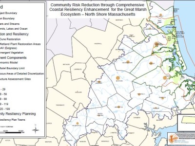
About the Project
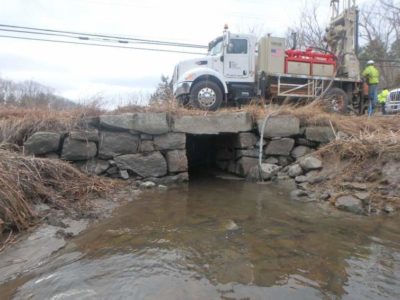
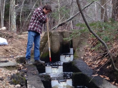
The Ipswich Mills Dam is owned by the Town of Ipswich and is located on the Ipswich River in downtown Ipswich. The dam is the first from the sea, built on a natural rock outcrop (the “upper falls”) at the head of tide 3.7 miles from the river mouth. The interface between salt and fresh water is an extremely rare and productive ecosystem and the presence of the dam at the head of tide is especially detrimental. The dam is constructed of granite blocks and has an overall length of 200 ft, with a 120 ft long overflow spillway. It was constructed to power adjacent mills and currently has no functional use. A Denil fishpass was installed in 1995, but does not allow all fish species to pass such as rainbow smelt which are weak swimmers and cannot swim up the ladder.
The Town of Ipswich recognizes the long-term maintenance, liability and environmental costs associated with the dam. On March 29, 2010 the Ipswich Board of Selectmen voted unanimously to begin exploring the environmental, technical, logistical and economic factors surrounding the removal of the Ipswich Mills Dam. A preliminary feasibility study was funded by the Conservation Law Foundation and NOAA. A full feasibility is now being planned for 2015-2017